File:Aerial Overview From Google Maps.png
From OpenWetWare
Jump to navigationJump to search
No higher resolution available.
Aerial_Overview_From_Google_Maps.png (489 × 368 pixels, file size: 255 KB, MIME type: image/png)
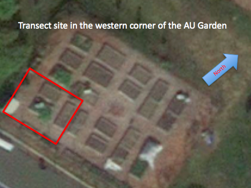
Aerial Overview From Google Maps
File history
Click on a date/time to view the file as it appeared at that time.
| Date/Time | Thumbnail | Dimensions | User | Comment | |
|---|---|---|---|---|---|
| current | 01:40, 2 July 2014 | | 489 × 368 (255 KB) | Corey Bear (talk | contribs) | Aerial Overview From Google Maps |
You cannot overwrite this file.
File usage
There are no pages that use this file.
